

UAV, Drone, and Terrestrial Scanning Services in Warrnambool
UAV, Drone, and Terrestrial Scanning
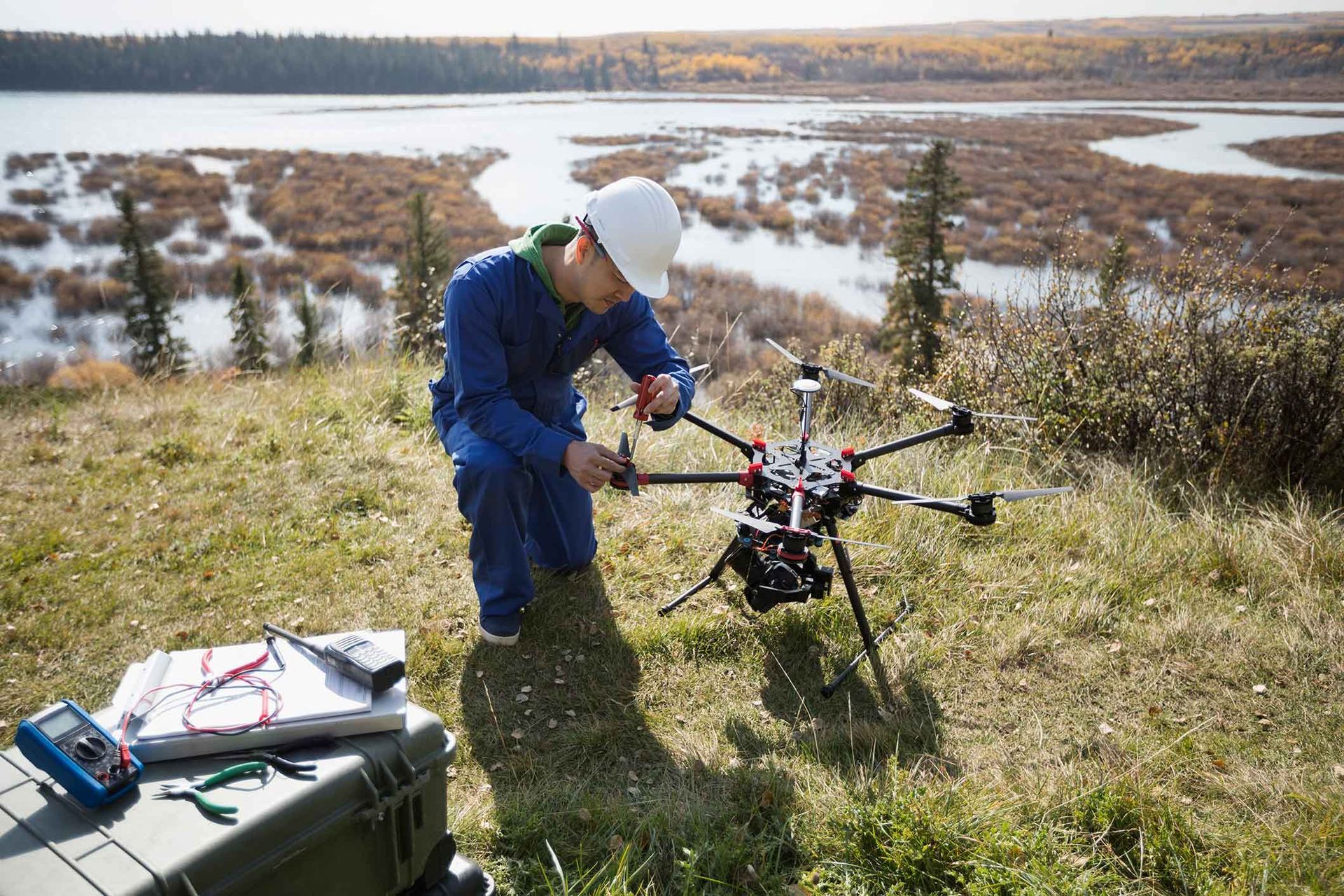
Joseph Land Surveying provide UAV / Drone surveying for both photogrammetry and LiDAR data capture together with terrestrial scanning surveying services allowing us to undertake large scale surveys for design and development, pipelines, engineering design, flood plain modelling etc. We are able to survey sites that are inaccessible due to safety such as stock piles, quarries, land fill sites, sites that are contaminated or unstable sites such as sand dunes and cliff faces for erosion monitoring and/ or access design works or sites that are culturally significant or sacred and not accessible by traditional survey techniques
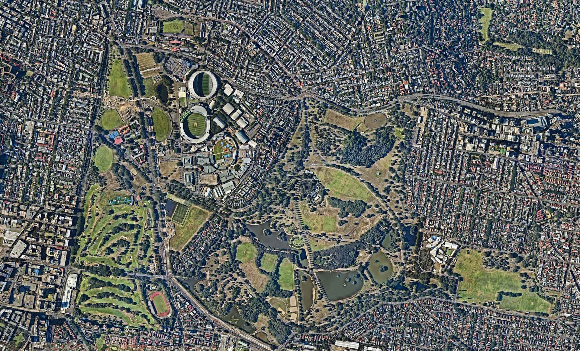
UAV Aerial Surveys
Utilising state-of-the-art UAVs equipped with high-resolution cameras and LiDAR (Light Detection and Ranging) technology, we conduct comprehensive aerial surveys to capture detailed imagery and topographic data of your project site. Our UAV aerial surveys provide a cost-effective and efficient solution for large-scale mapping, site analysis, and volumetric calculations.
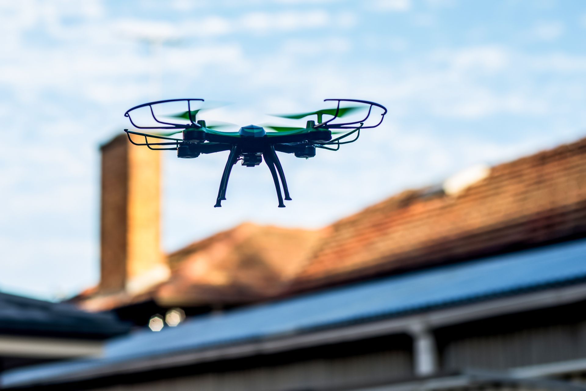
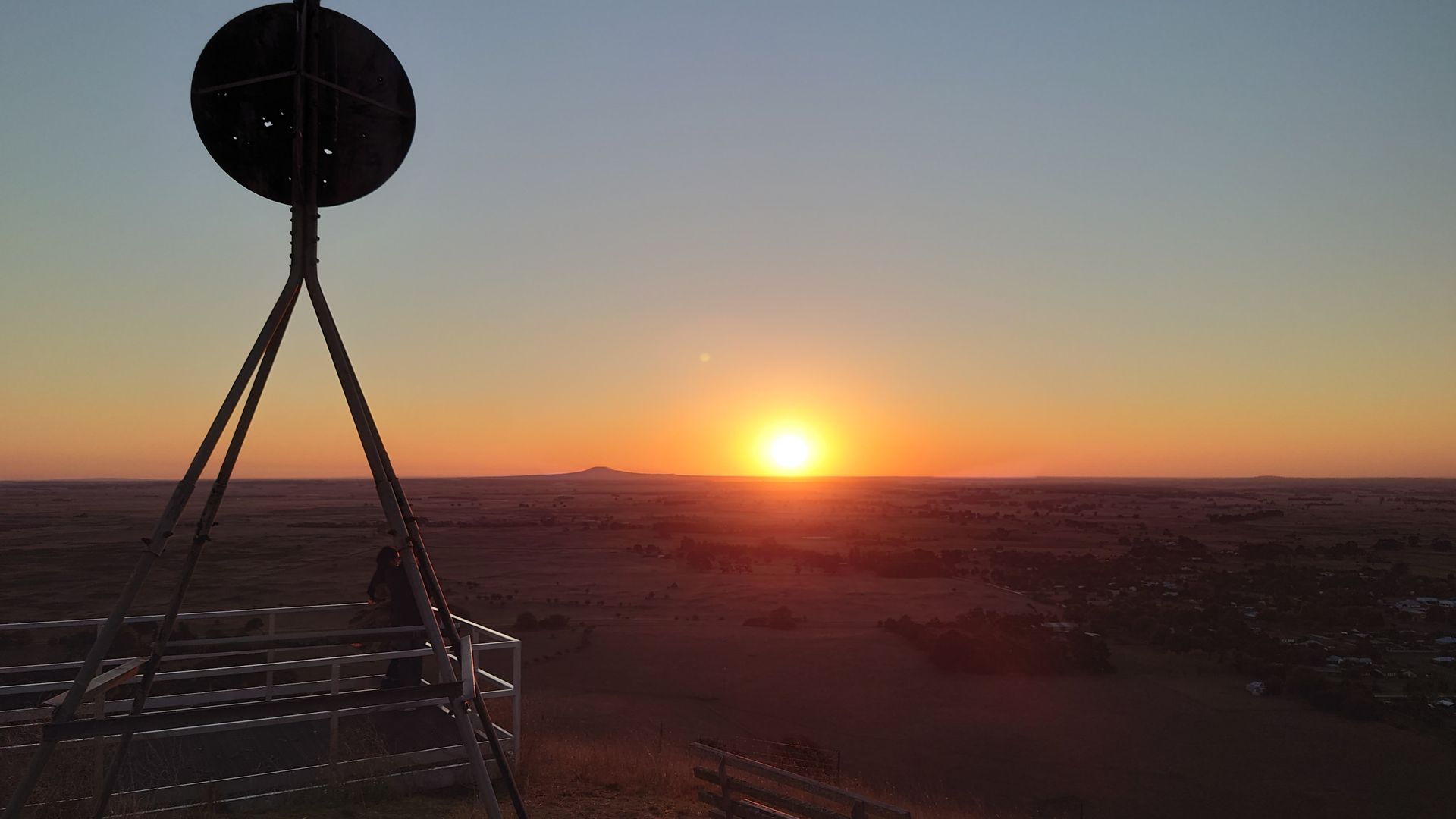
Drone Photography and Videography
Our skilled drone pilots capture stunning aerial photography and videography to provide clients with unique perspectives of their project sites. Whether you need promotional materials for marketing purposes or visual documentation for progress monitoring, our drone photography and videography services deliver exceptional quality and clarity.
Terrestrial Scanning
In addition to aerial surveys, we offer terrestrial scanning services using advanced laser scanning technology. Our terrestrial scanners capture highly accurate 3D point cloud data of structures, terrain, and infrastructure, enabling precise measurements, modelling, and analysis for various applications, including building information modelling (BIM), as-built documentation, and structural inspections.
Data Processing and Analysis
We are able to provide a multitude of outputs for our clients including classified point cloud data, AutoCAD, DXF, contour, digital terrain models, LAS, point and strings as customised to suit our clients requirements.
Experience superior data capture and analysis with our advanced UAV, drone, and terrestrial scanning services. Call us on 03 5562 2066 today.
